








Using mobile data in Greenland: what to expect
Greenland is unlike almost anywhere else you'll ever use a phone. There's a single operator, TELE-Greenland (Tusass), and effectively no roads between towns — settlements sit isolated along the coastline, linked to one another only by plane and boat. Mobile data historically ran over satellite backhaul, which made it slow and expensive, but a subsea fibre link and ongoing network upgrades have brought genuine, usable 4G to the larger towns. For a visitor the realistic picture is straightforward: solid data inside the towns you'll actually stay in, and essentially nothing the moment you leave them behind. A travel eSIM that covers Greenland gives you instant activation on arrival and spares you the roaming rates here, which can be genuinely eye-watering — but it's worth setting expectations honestly that this is a place where being offline for stretches is normal and expected, not a sign that anything has gone wrong.
Coverage across Greenland
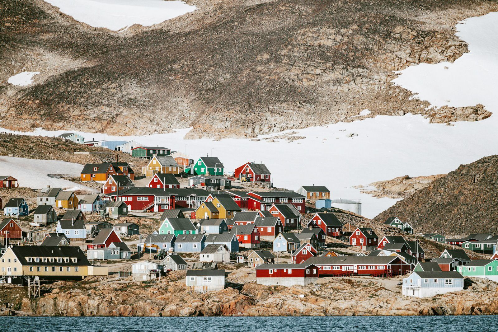
In practice, coverage means the towns and nothing else. The capital Nuuk has the best service, with usable 4G across the built-up area; Ilulissat near the famous icefjord, Sisimiut on the west coast, Qaqortoq down in the milder south, and Kangerlussuaq — long the main international gateway — all have mobile data in and immediately around the settlement. The smaller villages get basic coverage close to the centre and little beyond it. Outside those footprints there is simply nothing: the vast inland ice sheet, the deep fjords between towns, long-distance hiking routes like the Arctic Circle Trail, and any boat journey along the coast will have no cellular signal at all. This isn't really a network weakness so much as pure geography — the population is tiny and scattered across an enormous, roadless territory, so towers exist only where there are people to use them. Anyone trekking, sailing or flying between settlements should treat connectivity as a strictly town-only resource, carry offline maps, and bring a dedicated satellite messenger for any genuine wilderness travel where a missed message could matter.
How much data you'll need
Greenland travel is low-data by necessity, and that's fine. In town you'll use maps to find your way around, WhatsApp and Messenger to coordinate with guides and hosts, upload the occasional photo of the icebergs, and — more often than usual — check the weather and your flight or ferry status, because Air Greenland and the coastal ferries genuinely shift their schedules with the conditions. There's no Uber or equivalent; you walk, or you arrange transport locally and in person. As a rough guide: a few days based in Nuuk or Ilulissat runs around 2-4 GB; a week visiting two or three towns with regular photo uploads lands near 5-8 GB. Streaming is slow and impractical over the available bandwidth, so the very large plans matter far less here than simply having reliable data the moment you're back inside a settlement. The plans above comfortably cover what a town-based Greenland trip realistically demands.
Keep your number and WhatsApp
Run the travel eSIM alongside your normal SIM. The eSIM handles data while you're in town; your home SIM keeps your number for calls, SMS and bank verification codes. WhatsApp stays on your existing number, so contacts reach you as usual. Switch data roaming off on the home SIM — this matters more in Greenland than almost anywhere, because stray satellite roaming charges here can be remarkably steep — so that only the eSIM ever carries your data.
Before you fly
Confirm your phone supports eSIM with our compatibility checker, then install on home Wi-Fi before you leave. It stays dormant and activates only when you connect on arrival — most travellers now route through Nuuk's new international airport (GOH) or via Kangerlussuaq (SFJ), frequently connecting from Copenhagen or from Reykjavík in Iceland. Set everything up in advance, because there's no kiosk to fall back on once you land.
A country with almost no roads
Greenland has no road network connecting its towns to each other at all — you move between them by air, by sea, or in winter by dog sled and snowmobile. That single fact explains the connectivity map better than any coverage chart could: data lives where people live, and between the towns there is only ice and ocean.