








Using mobile data in Dominica: what to expect
Dominica — the rugged "Nature Island" of the Eastern Caribbean, not to be confused with the Dominican Republic — is one of the wildest, most mountainous islands in the region, and that terrain shapes connectivity here. The two operators, Flow (Cable & Wireless) and Digicel, cover the populated coastal towns with usable 4G, but the island's steep, forested interior means signal is far more about where you are than which network you're on. For the way most travellers use a phone — Google Maps on the narrow coast roads, WhatsApp for booking dive trips and reaching guesthouses, a browser for trail and site information, sharing photos of the waterfalls and the sea — you'll have dependable data in and around the towns. A travel eSIM is the practical choice: you skip the local-SIM hunt, land already connected with no roaming bill, and it activates the moment you arrive. Check your home plan before you go, because many don't extend coverage to the Eastern Caribbean at sensible rates, and an eSIM neatly avoids that whole question.
Coverage across Dominica
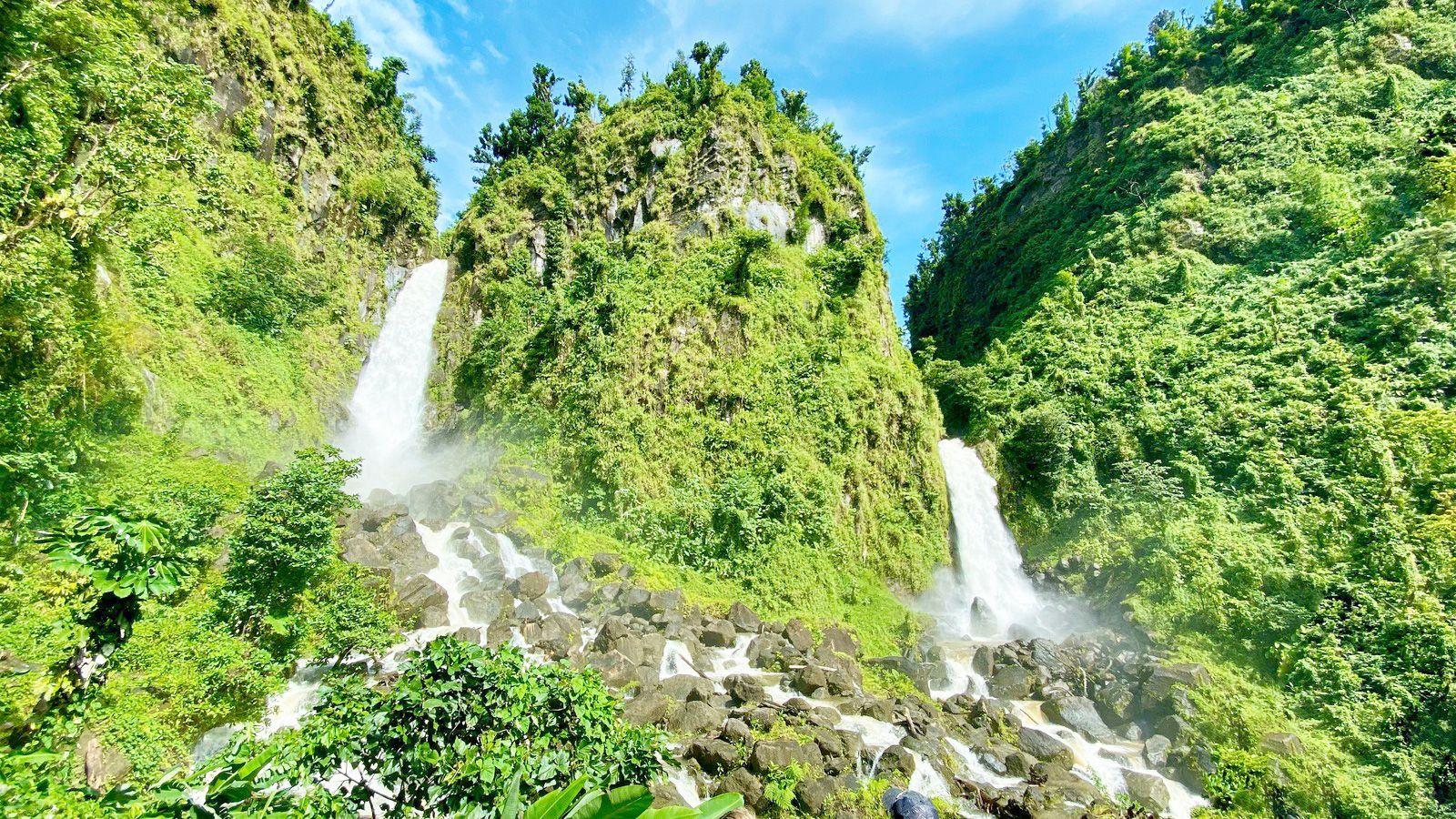
The island is small — roughly 47 km long — but extraordinarily vertical, so coverage tracks the coast rather than the interior. Signal is most dependable around the capital Roseau on the southwest coast and its surrounds, including the Roseau Valley gateway towns and the cruise-ship areas. It holds up reasonably along the west (Caribbean) coast through Mero and Salisbury up to Portsmouth, the second town, near the Cabrits and the Indian River. The eastern Atlantic coast around Castle Bruce and the Kalinago Territory is more patchy. Where it genuinely drops out is the mountainous, rainforested interior — the Morne Trois Pitons National Park, the Boiling Lake and Valley of Desolation hike, the Trafalgar and Middleham falls, and the high stretches of the Waitukubuli National Trail that runs the length of the island. On any inland hike, assume you'll lose signal entirely. Download offline maps before you set out, carry a paper trail note or guide for the harder routes, and don't rely on a phone connection deep in the forest.
How much data you'll need
Dominica is a data-light destination — it's a place for hiking, diving and hot springs, not screen time, and much of the best of it is offline anyway. The apps in regular use are Google Maps for the winding coastal roads, WhatsApp for booking dive operators, guides and accommodation (the standard way to communicate here), and a browser plus photo uploads for the waterfalls, the whale-watching boats and the black-sand beaches. As a rough guide, a few days runs about 2–4 GB; a week combining Roseau, Portsmouth and a series of national-park day hikes lands around 5–10 GB; and if you plan to share a lot of video or work remotely between adventures, size up to a larger plan from the options above. Because so much of the interior has no signal, many visitors find their data use is lighter than they expected once they're out on the trails.
Keep your number and WhatsApp
Your phone runs the travel eSIM alongside your normal SIM, so nothing changes about how people reach you. The eSIM carries your data on Dominica while your home SIM keeps your usual number live for calls, SMS and the bank one-time codes you'll need for online bookings — and WhatsApp stays linked to your existing number, so dive shops, guides and family reach you as normal. The one setting to get right: turn your home SIM's data roaming off so it can't quietly accrue charges in the background while the eSIM does the work. It takes seconds in your settings and it's the simplest way to avoid the classic post-holiday bill shock.
Before you fly
Confirm your handset supports eSIM first — most iPhones from the XR onward, plus recent Samsung, Pixel and Honor models; our compatibility checker verifies it in seconds. Install the eSIM on home Wi-Fi before you leave so it's ready to go, and let it activate when you land at Douglas-Charles Airport (DOM) on the northeast coast — note that it's a long, scenic drive of around an hour to Roseau, so having Maps live and an offline copy downloaded from the moment you arrive genuinely helps on that transfer.
Good to know for hikers
The Waitukubuli National Trail is the Caribbean's first long-distance hiking trail, running the full 184 km length of the island in segments — and most of it has no mobile signal. Practical tip: before any segment, download the offline map, screenshot the route notes, and let your guesthouse know your plan and expected return. For a wider island-hopping trip, neighbours like Saint Lucia each need their own eSIM, since there's no shared roaming across the Eastern Caribbean — a dedicated local plan per island keeps you cleanly online throughout.